RETURN TO HANGAR/PRJ-01 // DEF-OPS
TRL-6 // PROTOTYPE DEMO
[ ACTIVE FLIGHT DEPLOYMENT ]Tactical Reconnaissance & GPS-Denied Autonomy

Flying Wings: National Defence Hackathon

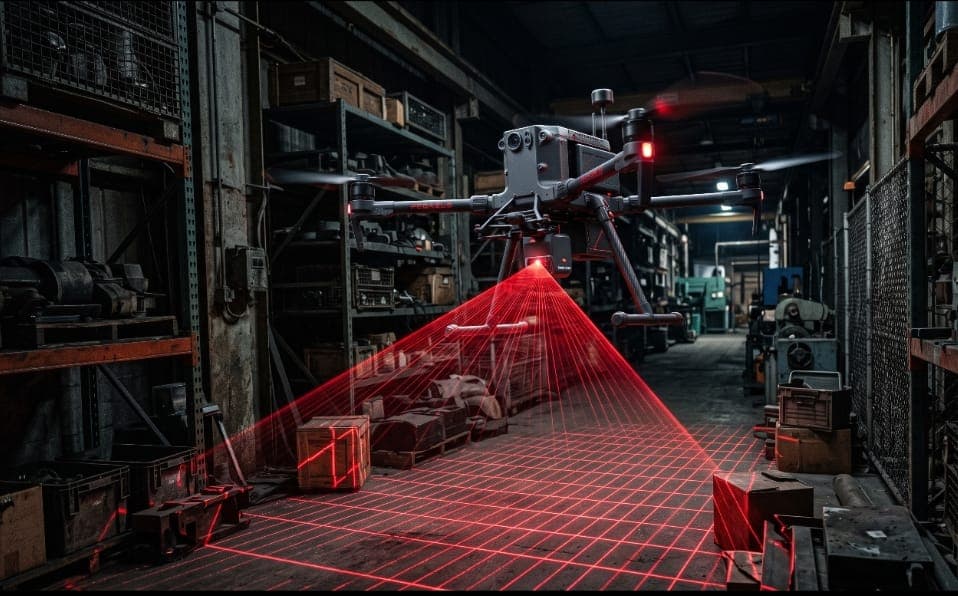
Autonomous Tactical Quadcopter for GPS-Denied Subterranean & Recon Operations
PARTNER:National Defence Hackathon // Department of Space
DIVISION:Autonomous Flight & Visual-Inertial Navigation
ROUTER:/flying-wings
ACTIVE SUBSYSTEMS:Pixhawk 6CJetson Orin NanoArduPilot EKF3ROS2 HumbleIntel RealSense D435iTensorRTLiDAR
Flying Wings: National Defence Hackathon
FEED 01 // TELEMETRY FRAME · PRJ-01 // DEF-OPS
STATUS: ACTIVE FLIGHT DEPLOYMENT // LIVE
[ 01 -- Telemetry ]

Performance Metrics

Bench-validated telemetry benchmarks, endurance parameters, and operational bounds.

Max Velocity[ METRIC ]
18.5m/s

Ground speed in autonomous cruise mode

Endurance[ METRIC ]
28min

Continuous flight under full sensor load

Operational Radius[ METRIC ]
4.2km

Line-of-sight telemetry & autonomous patrol range

All-Up Weight[ METRIC ]
1,850g

Including battery, avionics & perception payload

Autonomy Level[ METRIC ]
Tier 4Full Auto

Autonomous navigation, obstacle avoidance & safe touchdown

Odometry Drift[ METRIC ]
< 1.2% / 100m

GPS-denied visual-inertial odometry cumulative drift

[ 03 -- Mission ]

Operational Blueprint

Developed as a high-stakes entry for the National Defence Hackathon, the Flying Wings platform is engineered specifically to operate in electronic warfare environments where satellite signals (GPS, GLONASS, NavIC) are jammed, spoofed, or physically degraded.

The airframe is built around a rigid carbon-fiber monocoque chassis integrating high-efficiency brushless propulsion, an edge AI perception payload driven by NVIDIA Jetson, and an onboard stereo-vision VIO (Visual-Inertial Odometry) pipeline that tracks millimeter-scale drift without external telemetry.

Real-time object detection models running on TensorRT identify tactical markers, structural breach points, and personnel zones, executing search-and-survey patterns autonomously while preserving complete radio silence.

PRIMARY ENGINEERING MILESTONES & CAPABILITIES
[ OBJ-01 ]Flight Controls & Autonomy

Zero-GPS Odometry Fusion

Maintain positional hold and waypoint navigation using fused visual-inertial odometry and downward optical flow inside enclosed mock defense structures.

[ OBJ-02 ]Computer Vision & Perception

Target Recognition & Threat Tagging

Deploy deep neural networks on the Jetson Orin Nano to identify human subjects, hazards, and mission targets with sub-second inference latency.

[ OBJ-03 ]Avionics & Embedded Systems

Emergency Autonomous Touchdown

In the event of motor failure or payload disruption, compute optimal safe landing coordinates using real-time depth topology maps.

[ OBJ-04 ]Ground Control & Telemetry

Low-Observability Radio Protocol

Execute tactical search sweeps while suppressing active telemetry broadcasts to evade electronic detection.

[ 02 -- Architecture ]

Avionics & Hardware Matrix

Subsystem flight controllers, edge companion compute, perception sensors, and telemetry infrastructure.

01.Autopilot Flight Controller
Holybro Pixhawk 6C Autopilot
STM32H743 + Dual ICM-42688-P IMUs
Flashing ArduPilot 4.5.1 with customized EKF3 fusion for optical flow and visual odometry.
02.AI Companion Computer
NVIDIA Jetson Orin Nano (8GB)
6-core ARM Cortex + Ampere GPU (40 TOPS)
Runs ROS2 Humble, JetPack 6.0, TensorRT inference pipeline, and RealSense VIO SLAM.
03.Optical & Depth Perception
Intel RealSense D435i Stereo Camera
Global shutter IR depth + built-in BMI055 IMU
Mounted with silicone vibration isolation; provides 848x480 depth stream at 30 FPS.
04.Altitude & Proximity Ranging
Benewake TFmini Plus LiDAR
ToF Single-point LiDAR (12m range, 100Hz)
Downward facing for high-speed altitude hold over non-reflective and dusty terrain.
05.Propulsion & ESC
T-Motor F40 PRO IV + Tekko32 50A 4-in-1
1950KV Brushless + BLHeli_32 DShot600
Provides 4:1 thrust-to-weight ratio for sharp evasive maneuvers and stable hover.
06.Telemetry & C2 Link
RadioMaster ELRS 2.4GHz + RFD900x
Dual Diversity ExpressLRS + 915MHz Telemetry
Frequency-hopping telemetry link with fail-safe automatic RTL on packet loss.
[ 04 -- Cadence ]

Flight Logs & Trials

Chronological deployment cadence, laboratory test phases, and verified field outcomes.

[ CADENCE 01 ]
Bench & Propulsion Calibration
August 2026
NOMINAL
Vibration dampening optimized; motor thrust variance verified within 1.8%.
[ CADENCE 02 ]
GPS-Denied Optical Lock Trial
August 2026
VALIDATED
Achieved continuous 15-minute stable hover inside IIST Avionics Hangar with < 5cm drift.
[ CADENCE 03 ]
Autonomous Waypoint Mission
September 2026
SUCCESS
Navigated 8 indoor checkpoints autonomously with obstacle avoidance in under 3 minutes.
[ CADENCE 04 ]
Field Demonstration Simulation
Upcoming
SCHEDULED
Full-scale tactical deployment evaluation at defense test grounds.
[ NEXT RESEARCH BUILD ]
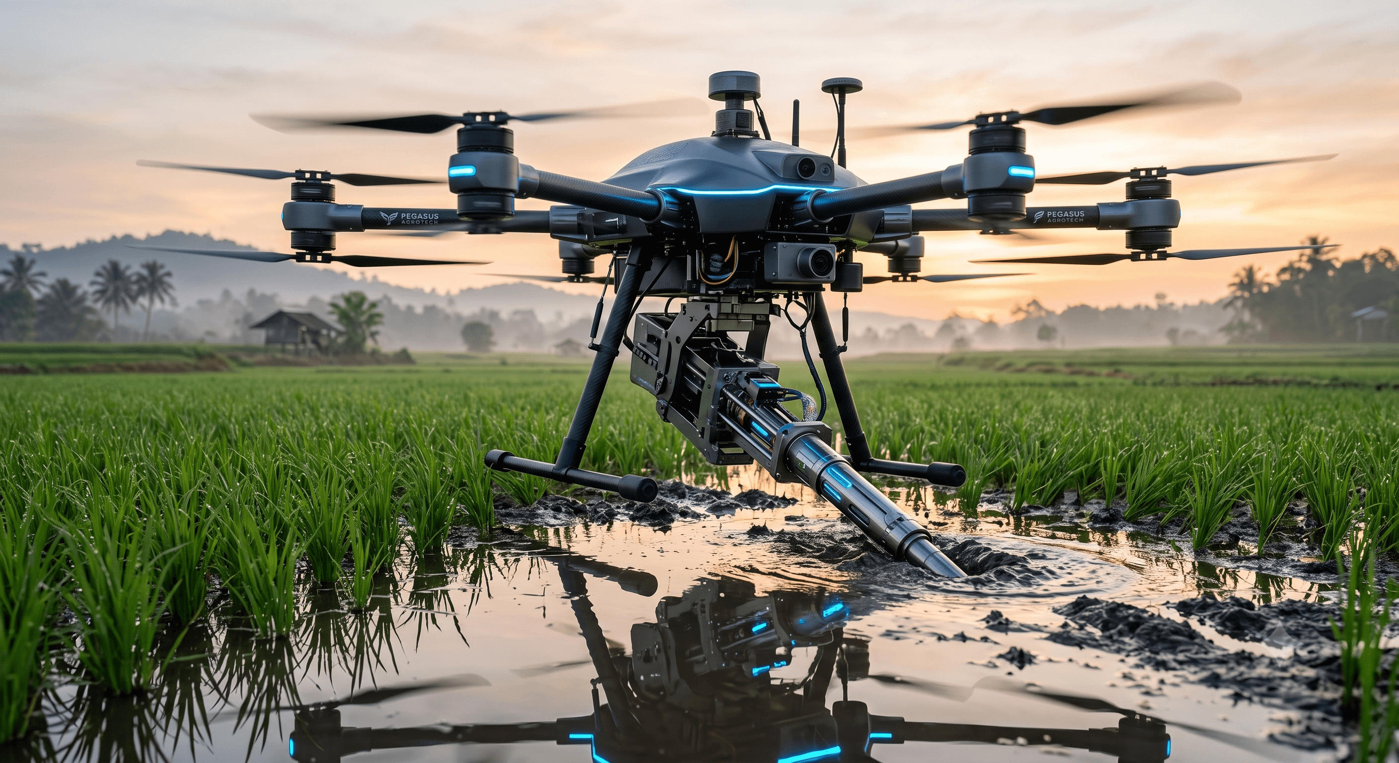
PRJ-02 // AGRI-SYS

Agricultural Drone Collaboration (Georgia University)
EXPLORE NEXT SPECS
Agricultural Drone Collaboration (Georgia University)